TYPE:
SENSOR
LAYER:
DS_PHR1A_202211240922299_FR1_PX_E017N12_0722_05579
FORMAT:
DIMAP
RASTER:
image/tiff
General Information
Map Name
Geometric Processing Level
Radiometric Processing Level
BASIC
Image dimensions
Number of columns
39577
Number of rows
125136
Number of spectral bands
1
Dataset framing
Vertice
Longitude (DEG)
Latitude (DEG)
Row
Col
#1
17.45432540573097
13.16729497544301
#2
17.64645387322317
13.16676087288543
#3
17.64545858697569
12.5972274165262
#4
17.45541022325648
12.59403296102995
Dataset sources
PHR
Coordinate Reference System
Projected Coordinate System
Geocoding tables identification
EPSG(6.3)
Production
Production Date
2022-11-25T00:03:29.135
Job identification
6571302101-1
Dataset Producer Identification
AIRBUS DS GEO
Producer link
http://www.geo-airbusds.com
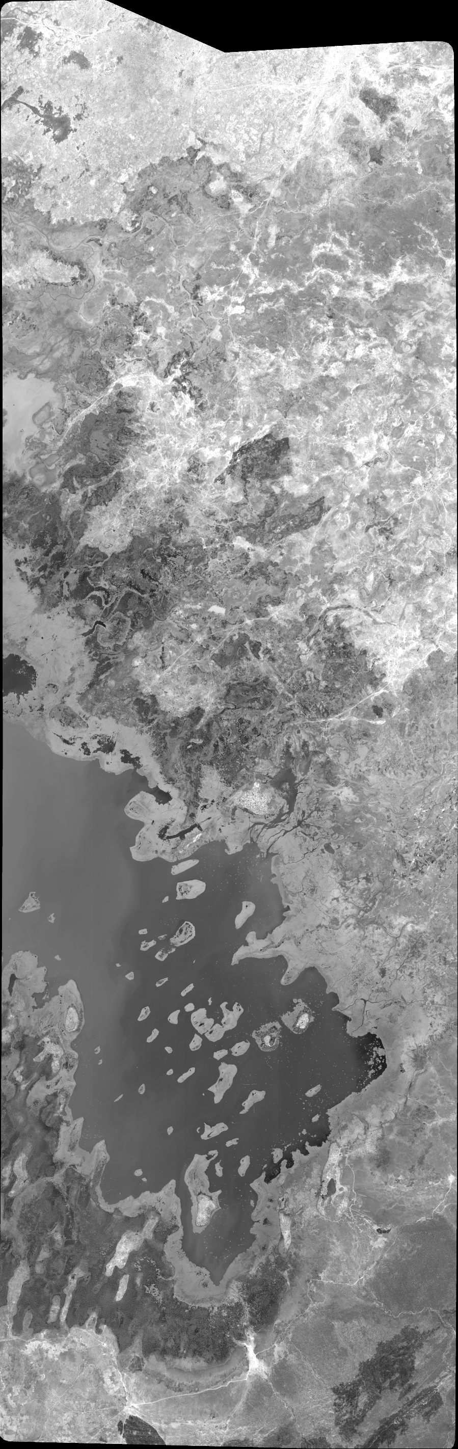
Quicklook
Copyright