TYPE:
SENSOR
LAYER:
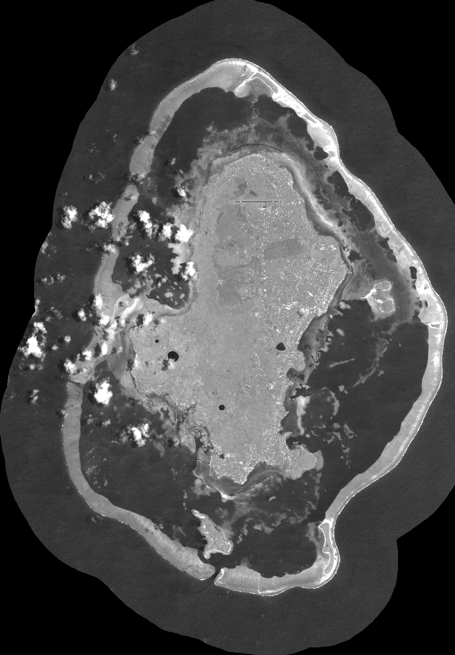
DS_PHR1B_202211222205465_FR1_PX_W177S14_1018_02546
FORMAT:
DIMAP
RASTER:
image/tiff
General Information
Map Name
Geometric Processing Level
Radiometric Processing Level
BASIC
Image dimensions
Number of columns
39416
Number of rows
56748
Number of spectral bands
1
Dataset framing
Vertice
Longitude (DEG)
Latitude (DEG)
Row
Col
#1
-176.3042969229014
-13.15599604893179
#2
-176.118755050133
-13.15740261557861
#3
-176.1187268791765
-13.42151846099755
#4
-176.3043015232087
-13.42038417763015
Dataset sources
PHR
Coordinate Reference System
Projected Coordinate System
Geocoding tables identification
EPSG(6.3)
Production
Production Date
2022-11-23T11:26:37.088
Job identification
6569721101-1
Dataset Producer Identification
AIRBUS DS GEO
Producer link
http://www.geo-airbusds.com
Quicklook
Copyright