TYPE:
SENSOR
LAYER:
DS_PHR1B_202211211307359_FR1_PX_W040S05_1202_01816
FORMAT:
DIMAP
RASTER:
image/tiff
General Information
Map Name
Geometric Processing Level
Radiometric Processing Level
BASIC
Image dimensions
Number of columns
9924
Number of rows
10079
Number of spectral bands
4
Dataset framing
Vertice
Longitude (DEG)
Latitude (DEG)
Row
Col
#1
-39.14421860978256
-4.863834695751978
1
#2
-38.95869811193815
-4.859609260548008
#3
-38.95853159698071
-5.04504839147655
#4
-39.14460714085459
-5.048317330093678
Dataset sources
PHR
Coordinate Reference System
Projected Coordinate System
Geocoding tables identification
EPSG(6.3)
Production
Production Date
2022-11-22T03:19:32.140
Job identification
6567897101-2
Dataset Producer Identification
AIRBUS DS GEO
Producer link
http://www.geo-airbusds.com
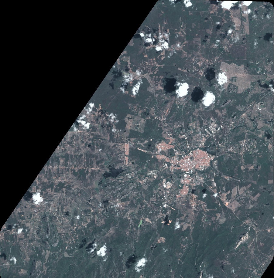
Quicklook
Copyright