TYPE:
SENSOR
LAYER:
DS_PHR1B_202211211307154_FR1_PX_W040S05_1202_01851
FORMAT:
DIMAP
RASTER:
image/tiff
General Information
Map Name
Geometric Processing Level
Radiometric Processing Level
BASIC
Image dimensions
Number of columns
39975
Number of rows
41098
Number of spectral bands
1
Dataset framing
Vertice
Longitude (DEG)
Latitude (DEG)
Row
Col
#1
-39.14335005982279
-4.858416243301012
#2
-38.95924563582403
-4.860929657261233
#3
-38.95903384737834
-5.048537807194698
#4
-39.1436256777412
-5.045187732933537
Dataset sources
PHR
Coordinate Reference System
Projected Coordinate System
Geocoding tables identification
EPSG(6.3)
Production
Production Date
2022-11-22T03:15:30.952
Job identification
6567896101-1
Dataset Producer Identification
AIRBUS DS GEO
Producer link
http://www.geo-airbusds.com
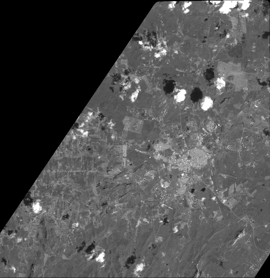
Quicklook
Copyright