TYPE:
SENSOR
LAYER:
DS_PHR1B_202211211307154_FR1_PX_W040S05_1202_01851
FORMAT:
DIMAP
RASTER:
image/tiff
General Information
Map Name
Geometric Processing Level
Radiometric Processing Level
BASIC
Image dimensions
Number of columns
9995
Number of rows
10275
Number of spectral bands
4
Dataset framing
Vertice
Longitude (DEG)
Latitude (DEG)
Row
Col
#1
-39.14334391645475
-4.858413666888715
1
#2
-38.95923018715922
-4.86092766668936
#3
-38.95901813786836
-5.048531102645589
#4
-39.14361906083349
-5.045180583135973
Dataset sources
PHR
Coordinate Reference System
Projected Coordinate System
Geocoding tables identification
EPSG(6.3)
Production
Production Date
2022-11-22T03:15:03.275
Job identification
6567896101-2
Dataset Producer Identification
AIRBUS DS GEO
Producer link
http://www.geo-airbusds.com
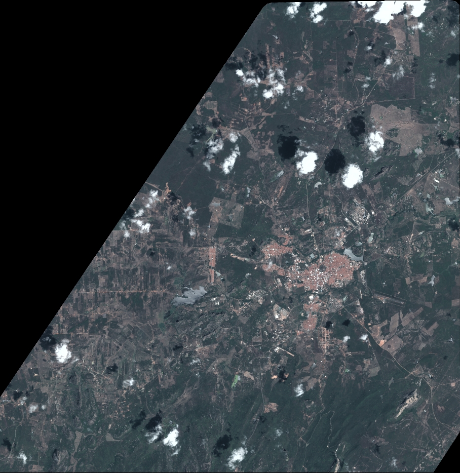
Quicklook
Copyright