TYPE:
SENSOR
LAYER:
DS_PHR1B_202211201032138_FR1_PX_E006N46_0709_01164
FORMAT:
DIMAP
RASTER:
image/jp2
General Information
Map Name
Geometric Processing Level
Radiometric Processing Level
BASIC
Image dimensions
Number of columns
9575
Number of rows
6367
Number of spectral bands
4
Dataset framing
Vertice
Longitude (DEG)
Latitude (DEG)
Row
Col
#1
6.361385589599575
46.40631878853197
1
#2
6.633603580272196
46.41790864394412
#3
6.63647541276671
46.29692036184598
#4
6.362576832085943
46.28221348327056
Dataset sources
PHR
Coordinate Reference System
Projected Coordinate System
Geocoding tables identification
EPSG(6.3)
Production
Production Date
2022-11-21T12:08:32.493
Job identification
6567607101-2
Dataset Producer Identification
AIRBUS DS GEO
Producer link
http://www.geo-airbusds.com
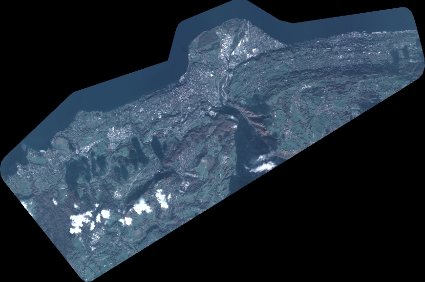
Quicklook
Copyright