TYPE:
SENSOR
LAYER:
DS_PHR1B_202211201033577_FR1_PX_E005N43_0513_00683
FORMAT:
DIMAP
RASTER:
image/jp2
General Information
Map Name
Geometric Processing Level
Radiometric Processing Level
BASIC
Image dimensions
Number of columns
7921
Number of rows
3686
Number of spectral bands
4
Dataset framing
Vertice
Longitude (DEG)
Latitude (DEG)
Row
Col
#1
5.308243281301765
43.40752627333952
1
#2
5.514953415925928
43.40085097723613
#3
5.514465094920761
43.33001446371881
#4
5.308252755349636
43.33627086274645
Dataset sources
PHR
Coordinate Reference System
Projected Coordinate System
Geocoding tables identification
EPSG(6.3)
Production
Production Date
2022-11-21T12:06:13.566
Job identification
6567606101-2
Dataset Producer Identification
AIRBUS DS GEO
Producer link
http://www.geo-airbusds.com
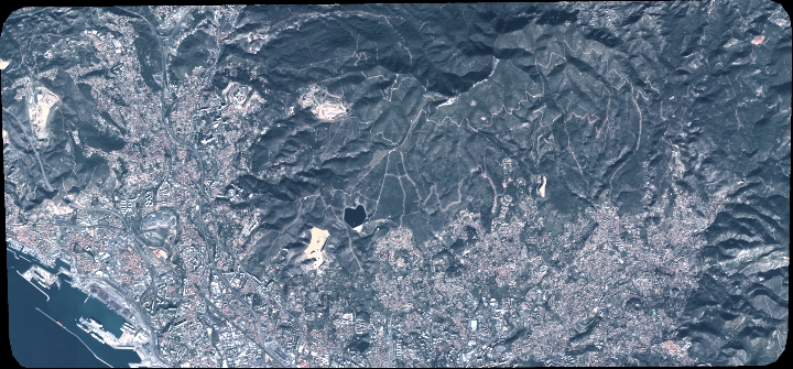
Quicklook
Copyright