TYPE:
SENSOR
LAYER:
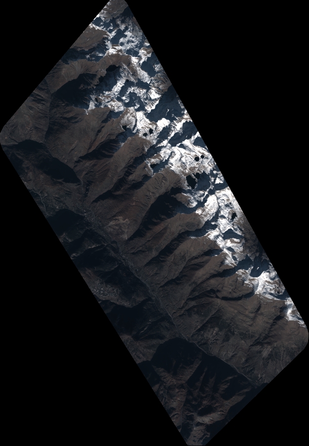
DS_PHR1B_202211201033140_FR1_PX_E006N44_1207_01788
FORMAT:
DIMAP
RASTER:
image/tiff
General Information
Map Name
Geometric Processing Level
Radiometric Processing Level
BASIC
Image dimensions
Number of columns
6887
Number of rows
9922
Number of spectral bands
4
Dataset framing
Vertice
Longitude (DEG)
Latitude (DEG)
Row
Col
#1
6.875186786353132
44.34219912543258
1
#2
7.04733212856224
44.3421547014128
#3
7.047235879136601
44.16565791912048
#4
6.875456145986989
44.16558094889003
Dataset sources
PHR
Coordinate Reference System
Projected Coordinate System
Geocoding tables identification
EPSG(6.3)
Production
Production Date
2022-11-21T14:26:37.576
Job identification
6567605201-2
Dataset Producer Identification
AIRBUS DS GEO
Producer link
http://www.geo-airbusds.com
Quicklook
Copyright