TYPE:
SENSOR
LAYER:
DS_PHR1B_202211201033243_FR1_PX_E006N44_1207_01800
FORMAT:
DIMAP
RASTER:
image/tiff
General Information
Map Name
Geometric Processing Level
Radiometric Processing Level
BASIC
Image dimensions
Number of columns
27481
Number of rows
39792
Number of spectral bands
1
Dataset framing
Vertice
Longitude (DEG)
Latitude (DEG)
Row
Col
#1
6.874927531919422
44.34268308134975
#2
7.047648157081196
44.34347722968597
#3
7.047384754571688
44.16408627911929
#4
6.875138624369275
44.16390221693685
Dataset sources
PHR
Coordinate Reference System
Projected Coordinate System
Geocoding tables identification
EPSG(6.3)
Production
Production Date
2022-11-21T14:28:12.324
Job identification
6567604201-1
Dataset Producer Identification
AIRBUS DS GEO
Producer link
http://www.geo-airbusds.com
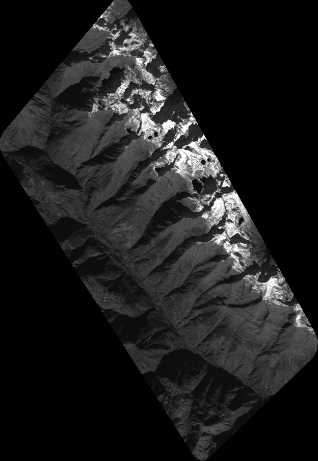
Quicklook
Copyright