TYPE:
SENSOR
LAYER:
DS_PHR1B_202211201033045_FR1_PX_E006N44_1207_01800
FORMAT:
DIMAP
RASTER:
image/tiff
General Information
Map Name
Geometric Processing Level
Radiometric Processing Level
BASIC
Image dimensions
Number of columns
27313
Number of rows
39943
Number of spectral bands
1
Dataset framing
Vertice
Longitude (DEG)
Latitude (DEG)
Row
Col
#1
6.875446918149689
44.34302878858043
#2
7.047018497881441
44.34280724539853
#3
7.047098377450265
44.16380355725191
#4
6.875591880555187
44.16313395493931
Dataset sources
PHR
Coordinate Reference System
Projected Coordinate System
Geocoding tables identification
EPSG(6.3)
Production
Production Date
2022-11-21T12:10:02.358
Job identification
6567603101-1
Dataset Producer Identification
AIRBUS DS GEO
Producer link
http://www.geo-airbusds.com
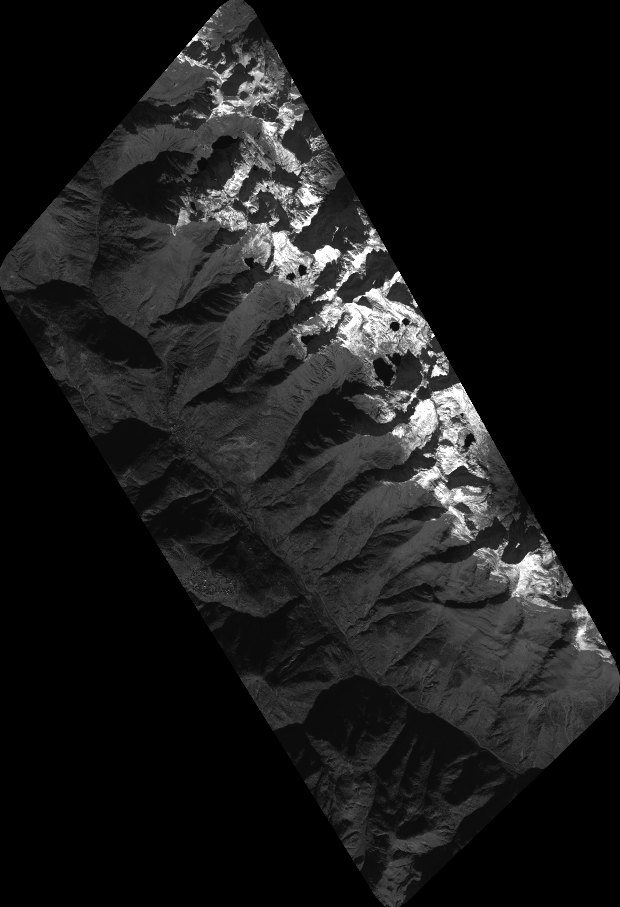
Quicklook
Copyright