TYPE:
SENSOR
LAYER:
DS_PHR1B_202211201033045_FR1_PX_E006N44_1207_01800
FORMAT:
DIMAP
RASTER:
image/tiff
General Information
Map Name
Geometric Processing Level
Radiometric Processing Level
BASIC
Image dimensions
Number of columns
6829
Number of rows
9986
Number of spectral bands
4
Dataset framing
Vertice
Longitude (DEG)
Latitude (DEG)
Row
Col
#1
6.875461106671215
44.34302347335295
1
#2
7.047032952008691
44.34280161261592
#3
7.047113822675897
44.16380556541154
#4
6.875606384209699
44.16313534245295
Dataset sources
PHR
Coordinate Reference System
Projected Coordinate System
Geocoding tables identification
EPSG(6.3)
Production
Production Date
2022-11-21T12:11:02.093
Job identification
6567603101-2
Dataset Producer Identification
AIRBUS DS GEO
Producer link
http://www.geo-airbusds.com
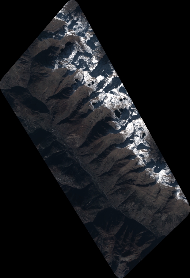
Quicklook
Copyright