TYPE:
SENSOR
LAYER:
DS_PHR1A_202211191041573_FR1_PX_E005N43_0607_00851
FORMAT:
DIMAP
RASTER:
image/jp2
General Information
Map Name
Geometric Processing Level
Radiometric Processing Level
BASIC
Image dimensions
Number of columns
6467
Number of rows
4673
Number of spectral bands
4
Dataset framing
Vertice
Longitude (DEG)
Latitude (DEG)
Row
Col
#1
5.410828384011635
43.32383104185179
1
#2
5.575904242129101
43.32686646985038
#3
5.575691727303385
43.23882030169453
#4
5.41091687984777
43.23618732496455
Dataset sources
PHR
Coordinate Reference System
Projected Coordinate System
Geocoding tables identification
EPSG(6.3)
Production
Production Date
2022-11-20T05:32:42.621
Job identification
6566506201-2
Dataset Producer Identification
AIRBUS DS GEO
Producer link
http://www.geo-airbusds.com
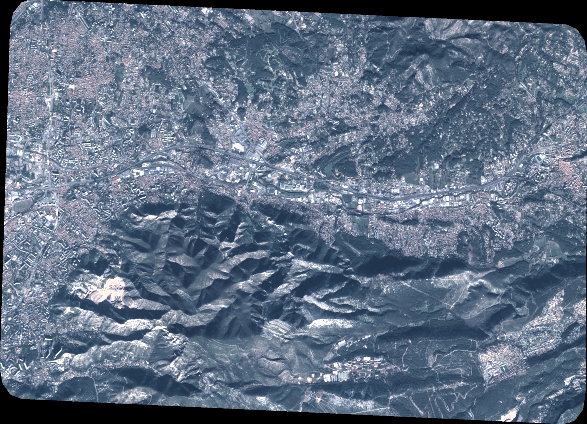
Quicklook
Copyright