TYPE:
SENSOR
LAYER:
DS_PHR1A_202210010759398_FR1_PX_E040N11_1022_03349
FORMAT:
DIMAP
RASTER:
image/tiff
General Information
Map Name
Geometric Processing Level
Radiometric Processing Level
BASIC
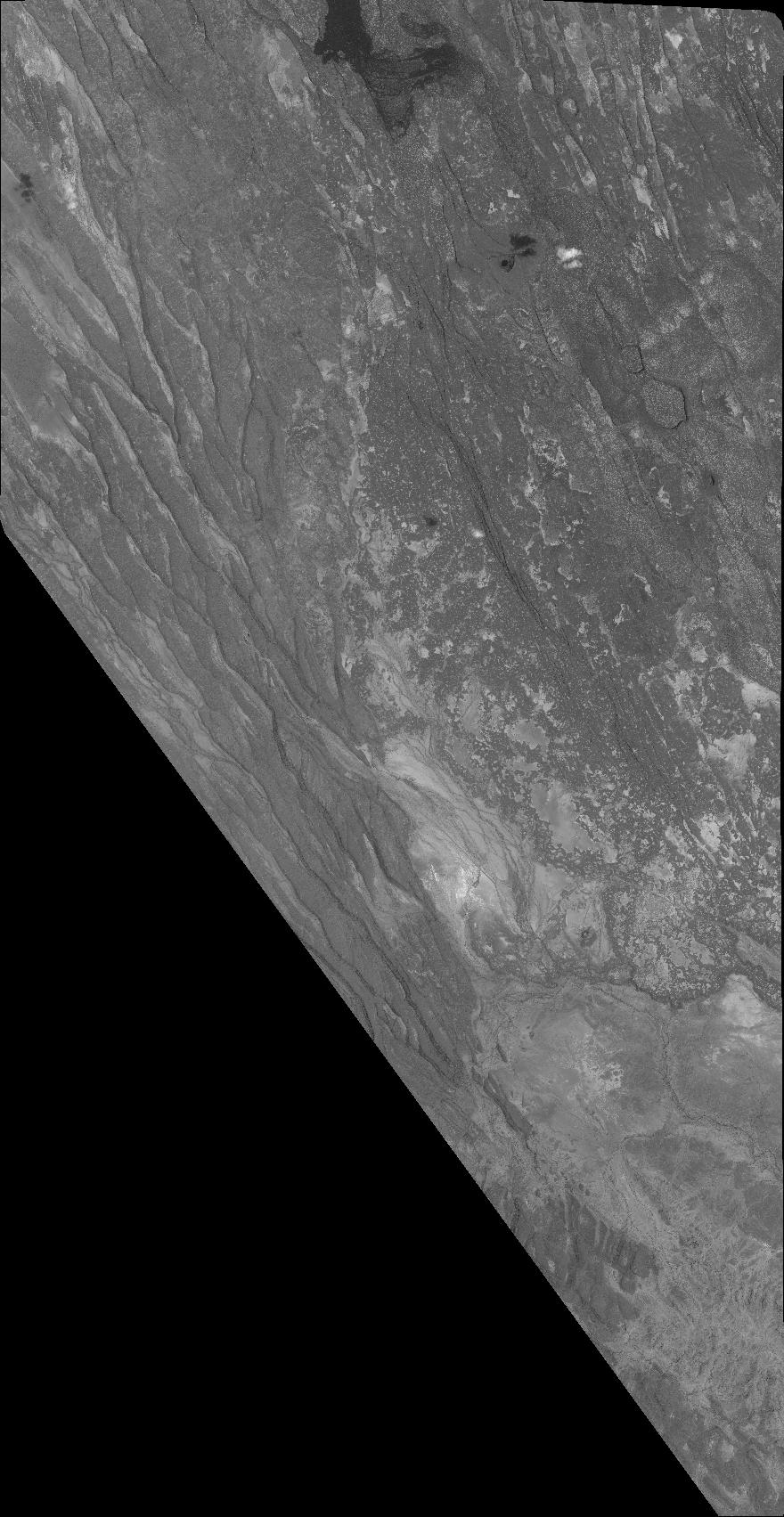
Image dimensions
Number of columns
38736
Number of rows
74940
Number of spectral bands
1
Dataset framing
Vertice
Longitude (DEG)
Latitude (DEG)
Row
Col
#1
40.69600531252507
12.06143677618797
#2
40.88545551567936
12.06966219210794
#3
40.88525914467031
11.71755702021972
#4
40.69511071917236
11.71183454316485
Dataset sources
PHR
Coordinate Reference System
Projected Coordinate System
Geocoding tables identification
EPSG(6.3)
Production
Production Date
2022-10-01T23:55:10.505
Job identification
6517775101-1
Dataset Producer Identification
AIRBUS DS GEO
Producer link
http://www.geo-airbusds.com
Quicklook
Copyright