TYPE:
SENSOR
LAYER:
DS_PHR1A_202210010759398_FR1_PX_E040N11_1022_03349
FORMAT:
DIMAP
RASTER:
image/tiff
General Information
Map Name
Geometric Processing Level
Radiometric Processing Level
BASIC
Image dimensions
Number of columns
9685
Number of rows
18735
Number of spectral bands
4
Dataset framing
Vertice
Longitude (DEG)
Latitude (DEG)
Row
Col
#1
40.69600190083616
12.06142949993841
1
#2
40.88545713477982
12.06965534799947
#3
40.88526007907361
11.7175640688548
#4
40.69510707836577
11.71184138768642
Dataset sources
PHR
Coordinate Reference System
Projected Coordinate System
Geocoding tables identification
EPSG(6.3)
Production
Production Date
2022-10-01T23:53:59.746
Job identification
6517775101-2
Dataset Producer Identification
AIRBUS DS GEO
Producer link
http://www.geo-airbusds.com
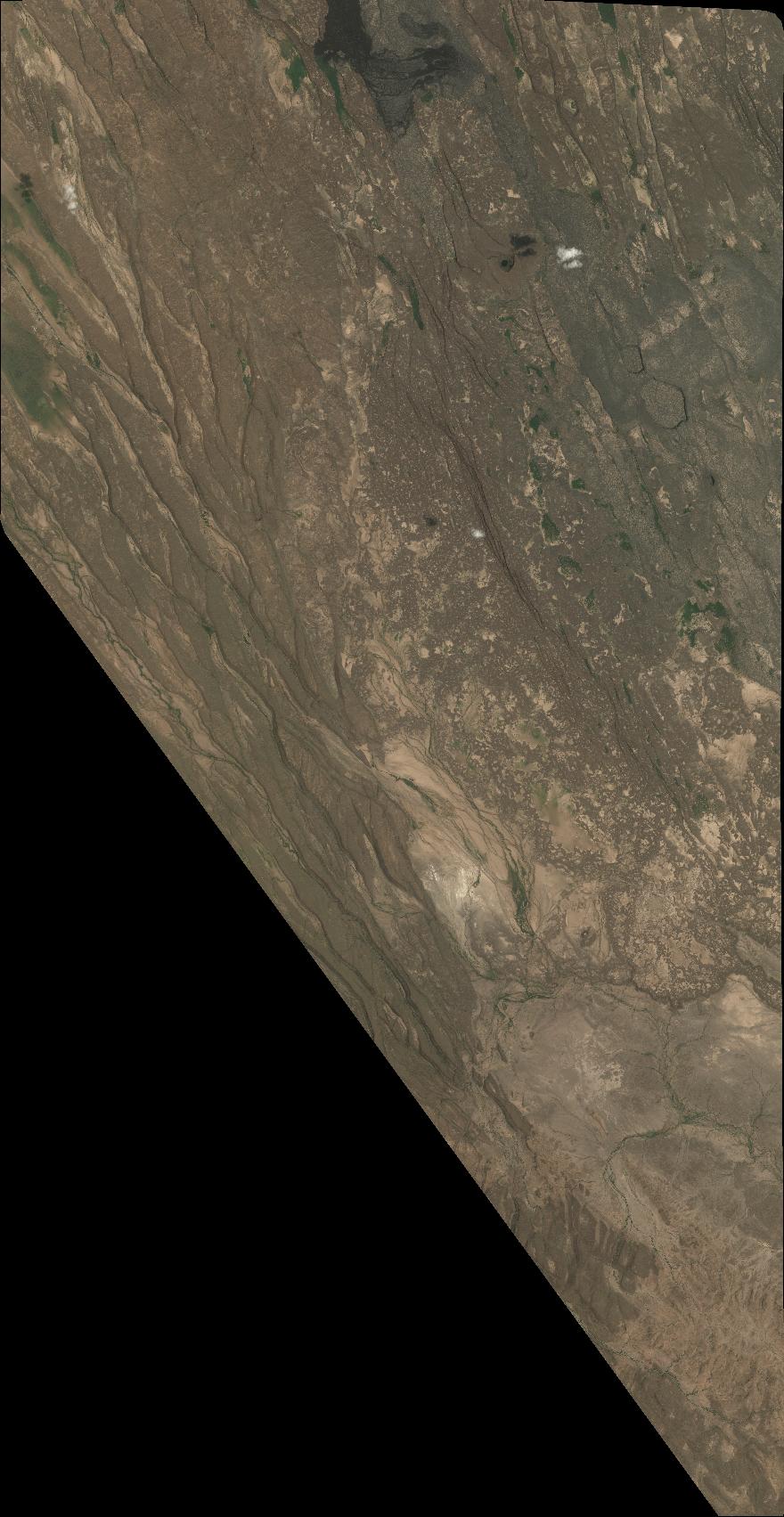
Quicklook
Copyright