TYPE:
SENSOR
LAYER:
DS_PHR1A_202210010759100_FR1_PX_E040N11_1022_03341
FORMAT:
DIMAP
RASTER:
image/tiff
General Information
Map Name
Geometric Processing Level
Radiometric Processing Level
BASIC
Image dimensions
Number of columns
39742
Number of rows
74760
Number of spectral bands
1
Dataset framing
Vertice
Longitude (DEG)
Latitude (DEG)
Row
Col
#1
40.69611770644171
12.06569624522362
#2
40.88531395506921
12.06108419762762
#3
40.88529992058118
11.71467942508013
#4
40.69547029905206
11.7211902400649
Dataset sources
PHR
Coordinate Reference System
Projected Coordinate System
Geocoding tables identification
EPSG(6.3)
Production
Production Date
2022-10-01T22:17:45.896
Job identification
6517774101-1
Dataset Producer Identification
AIRBUS DS GEO
Producer link
http://www.geo-airbusds.com
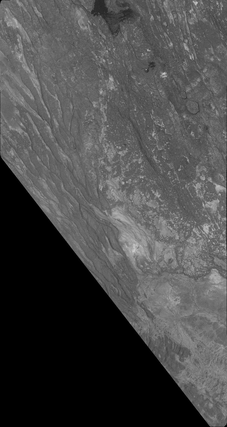
Quicklook
Copyright