TYPE:
SENSOR
LAYER:
DS_PHR1A_202210010759262_FR1_PX_E040N12_1207_04424
FORMAT:
DIMAP
RASTER:
image/tiff
General Information
Map Name
Geometric Processing Level
Radiometric Processing Level
BASIC
Image dimensions
Number of columns
39057
Number of rows
99109
Number of spectral bands
1
Dataset framing
Vertice
Longitude (DEG)
Latitude (DEG)
Row
Col
#1
40.85273425743956
12.49861068597997
#2
41.04276708677862
12.50426476557341
#3
41.0435212578489
12.04618869718134
#4
40.85282263380542
12.04393055383315
Dataset sources
PHR
Coordinate Reference System
Projected Coordinate System
Geocoding tables identification
EPSG(6.3)
Production
Production Date
2022-10-01T22:20:59.786
Job identification
6517722101-1
Dataset Producer Identification
AIRBUS DS GEO
Producer link
http://www.geo-airbusds.com
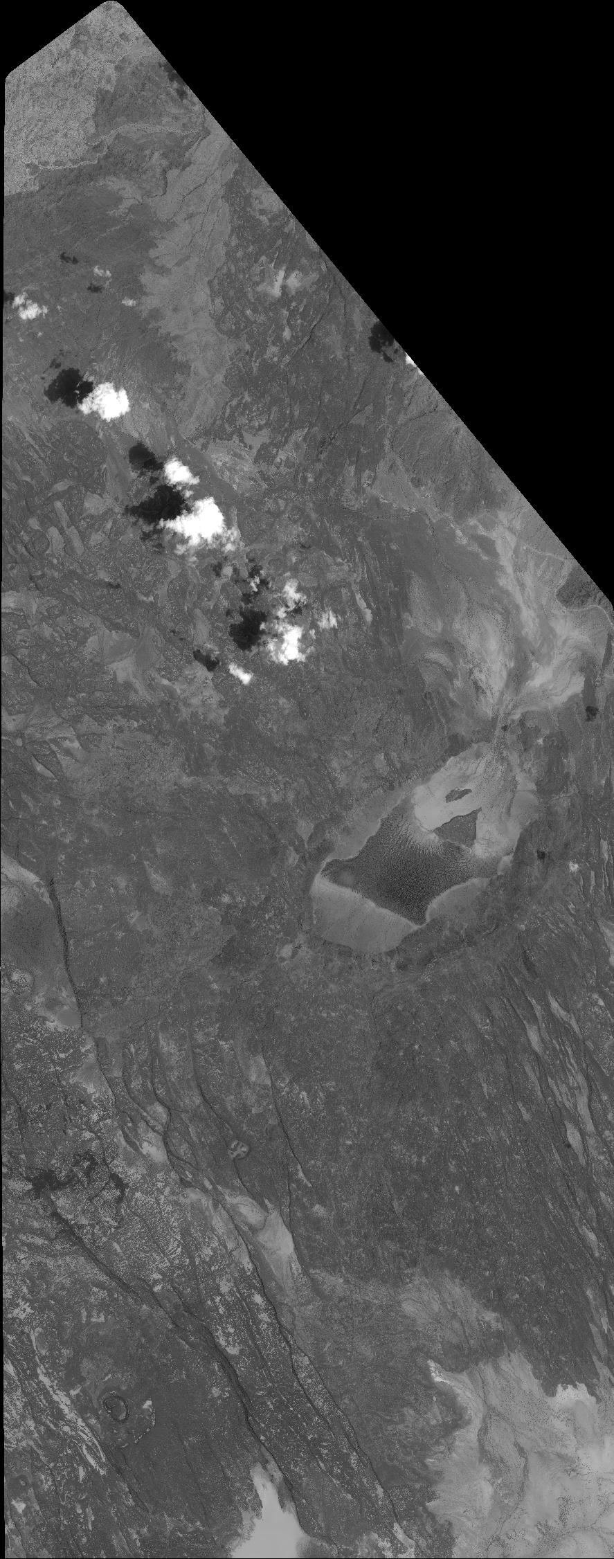
Quicklook
Copyright