TYPE:
SENSOR
LAYER:
DS_PHR1A_202210010758566_FR1_PX_E040N12_1207_04316
FORMAT:
DIMAP
RASTER:
image/tiff
General Information
Map Name
Geometric Processing Level
Radiometric Processing Level
BASIC
Image dimensions
Number of columns
39371
Number of rows
96590
Number of spectral bands
1
Dataset framing
Vertice
Longitude (DEG)
Latitude (DEG)
Row
Col
#1
40.85350053457209
12.50094951110894
#2
41.04319487846207
12.49408037346745
#3
41.04387848844492
12.03559885047695
#4
40.85345801207809
12.04463639535401
Dataset sources
PHR
Coordinate Reference System
Projected Coordinate System
Geocoding tables identification
EPSG(6.3)
Production
Production Date
2022-10-01T22:20:34.309
Job identification
6517721101-1
Dataset Producer Identification
AIRBUS DS GEO
Producer link
http://www.geo-airbusds.com
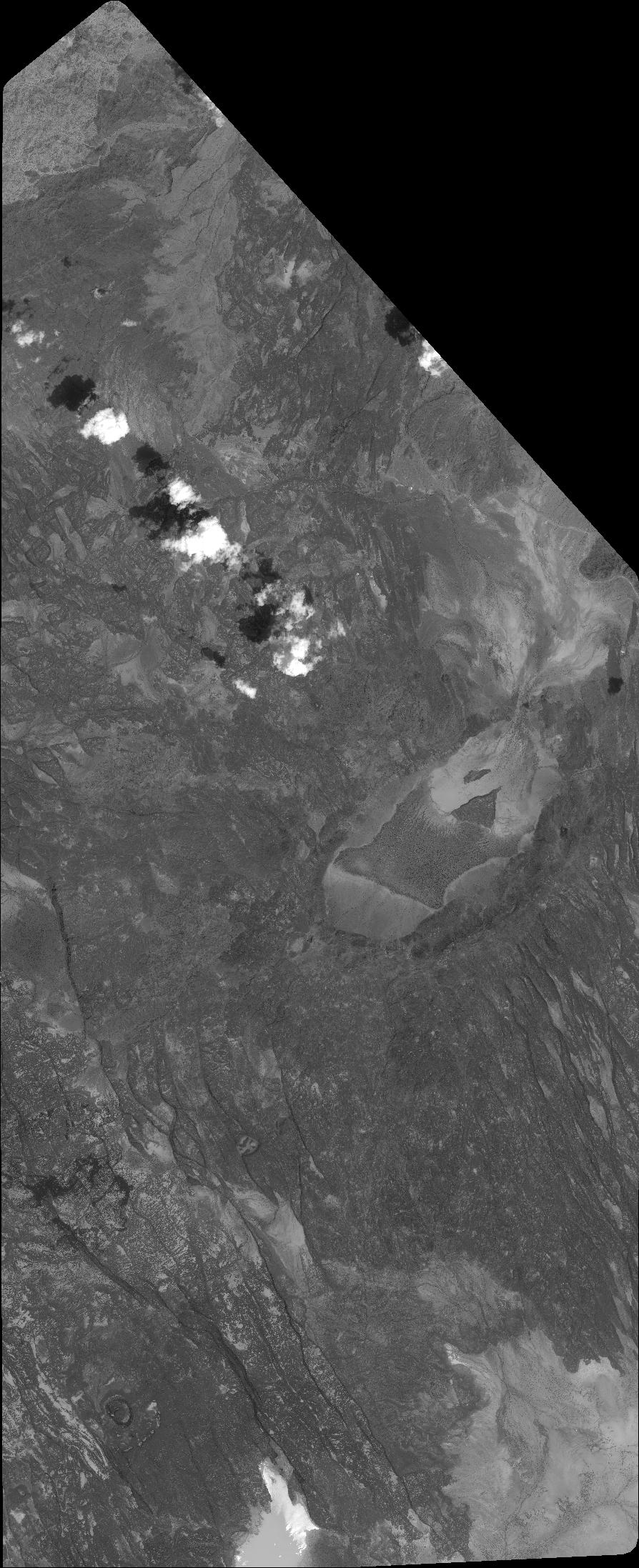
Quicklook
Copyright