TYPE:
SENSOR
LAYER:
DS_PHR1A_202210010758566_FR1_PX_E040N12_1207_04316
FORMAT:
DIMAP
RASTER:
image/tiff
General Information
Map Name
Geometric Processing Level
Radiometric Processing Level
BASIC
Image dimensions
Number of columns
9844
Number of rows
24147
Number of spectral bands
4
Dataset framing
Vertice
Longitude (DEG)
Latitude (DEG)
Row
Col
#1
40.8535073028366
12.5009328636493
1
#2
41.04321032956516
12.49406529951793
#3
41.04389469205135
12.03560584512281
#4
40.8534645276145
12.0446429278703
Dataset sources
PHR
Coordinate Reference System
Projected Coordinate System
Geocoding tables identification
EPSG(6.3)
Production
Production Date
2022-10-01T22:19:02.095
Job identification
6517721101-2
Dataset Producer Identification
AIRBUS DS GEO
Producer link
http://www.geo-airbusds.com
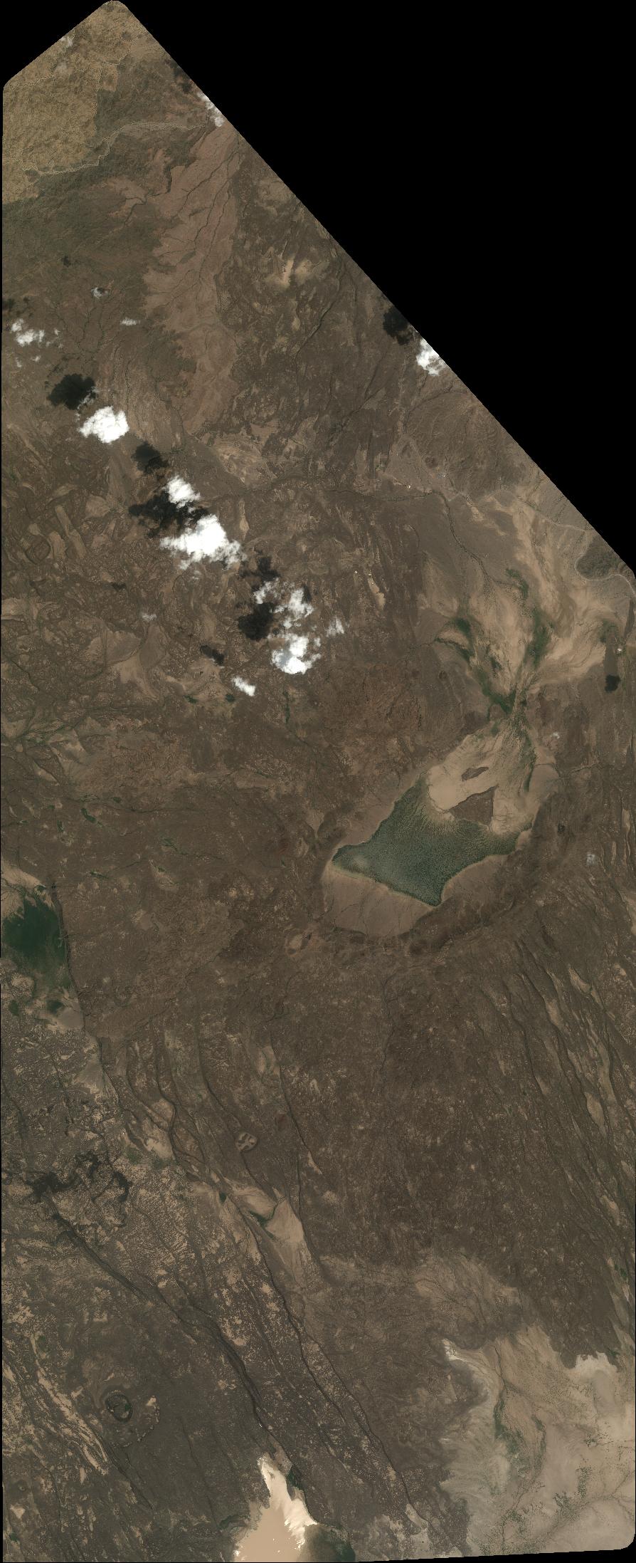
Quicklook
Copyright