TYPE:
SENSOR
LAYER:
DS_PHR1A_202209301354351_FR1_PX_W052N04_0320_01824
FORMAT:
DIMAP
RASTER:
image/jp2
General Information
Map Name
Geometric Processing Level
Radiometric Processing Level
BASIC
Image dimensions
Number of columns
3674
Number of rows
10153
Number of spectral bands
4
Dataset framing
Vertice
Longitude (DEG)
Latitude (DEG)
Row
Col
#1
-51.83638995083178
4.579952791709847
1
#2
-51.7647443623291
4.582567673773344
#3
-51.76511960807324
4.3916358460085
#4
-51.83654133057416
4.388445505354884
Dataset sources
PHR
Coordinate Reference System
Projected Coordinate System
Geocoding tables identification
EPSG(6.3)
Production
Production Date
2022-10-01T12:16:19.977
Job identification
6517637101-2
Dataset Producer Identification
AIRBUS DS GEO
Producer link
http://www.geo-airbusds.com
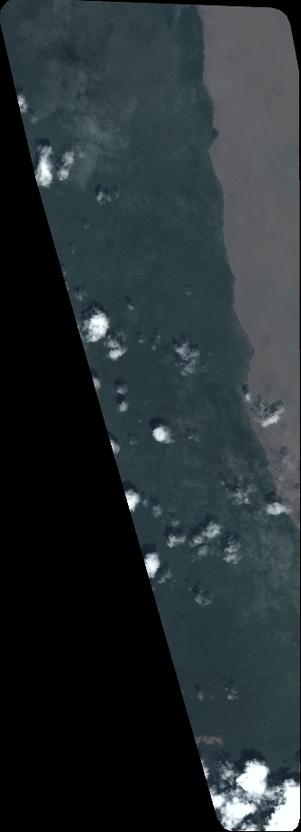
Quicklook
Copyright