TYPE:
SENSOR
LAYER:
DS_PHR1A_202209301354208_FR1_PX_W053N04_1217_01240
FORMAT:
DIMAP
RASTER:
image/jp2
General Information
Map Name
Geometric Processing Level
Radiometric Processing Level
BASIC
Image dimensions
Number of columns
8982
Number of rows
6866
Number of spectral bands
4
Dataset framing
Vertice
Longitude (DEG)
Latitude (DEG)
Row
Col
#1
-52.10889614909649
4.736094119667182
1
#2
-51.92301160169193
4.75184586228499
#3
-51.92305976911562
4.615007669543264
#4
-52.10865507063039
4.597903167550706
Dataset sources
PHR
Coordinate Reference System
Projected Coordinate System
Geocoding tables identification
EPSG(6.3)
Production
Production Date
2022-10-01T12:18:56.231
Job identification
6517636101-2
Dataset Producer Identification
AIRBUS DS GEO
Producer link
http://www.geo-airbusds.com
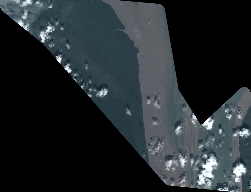
Quicklook
Copyright