TYPE:
SENSOR
LAYER:
DS_PHR1B_202209300938289_FR1_PX_E020N37_1016_00417
FORMAT:
DIMAP
RASTER:
image/jp2
General Information
Map Name
Geometric Processing Level
Radiometric Processing Level
BASIC
Image dimensions
Number of columns
1718
Number of rows
2207
Number of spectral bands
4
Dataset framing
Vertice
Longitude (DEG)
Latitude (DEG)
Row
Col
#1
20.81118171239687
37.67781627087546
1
#2
20.85352870638925
37.67972962907665
#3
20.85352121780798
37.63778215340047
#4
20.81158450168165
37.63619100365516
Dataset sources
PHR
Coordinate Reference System
Projected Coordinate System
Geocoding tables identification
EPSG(6.3)
Production
Production Date
2022-09-30T23:48:42.420
Job identification
6516268101-2
Dataset Producer Identification
AIRBUS DS GEO
Producer link
http://www.geo-airbusds.com
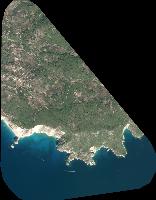
Quicklook
Copyright