TYPE:
SYSTEM_ORTHO
LAYER:
DS_PHR1B_202209301114374_FR1_PX_W001N45_0601_01300
FORMAT:
DIMAP
RASTER:
image/tiff
General Information
Map Name
Geometric Processing Level
Radiometric Processing Level
BASIC
Image dimensions
Number of columns
30313
Number of rows
30181
Number of spectral bands
4
Dataset framing
Vertice
Longitude (DEG)
Latitude (DEG)
Row
Col
#1
-0.6453838633319631
45.00436315979975
1
#2
-0.4532546499699647
45.0002378638706
#3
-0.4592491110545557
44.86453124888969
#4
-0.6509271525708624
44.86863717847172
Dataset sources
PHR
Coordinate Reference System
Projected Coordinate System
Geocoding tables identification
EPSG(6.3)
Projected Coordinate System name
32630
Projected Coordinate System code
urn:ogc:def:crs:EPSG::32630
Geoposition
Upper - Left Map X Coordinate
685565.75
Upper - Left Map Y Coordinate
4986132.25
Image sampling
0.5 x 0.5
Production
Production Date
2022-09-30T12:51:17.524
Job identification
6516266101
Dataset Producer Identification
AIRBUS DS GEO
Producer link
http://www.geo-airbusds.com
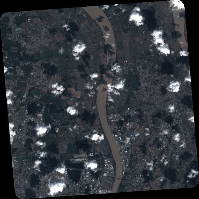
Quicklook
Copyright