TYPE:
SENSOR
LAYER:
DS_PHR1B_202209300938184_FR1_PX_E020N37_0919_02499
FORMAT:
DIMAP
RASTER:
image/jp2
General Information
Map Name
Geometric Processing Level
Radiometric Processing Level
BASIC
Image dimensions
Number of columns
9794
Number of rows
13910
Number of spectral bands
4
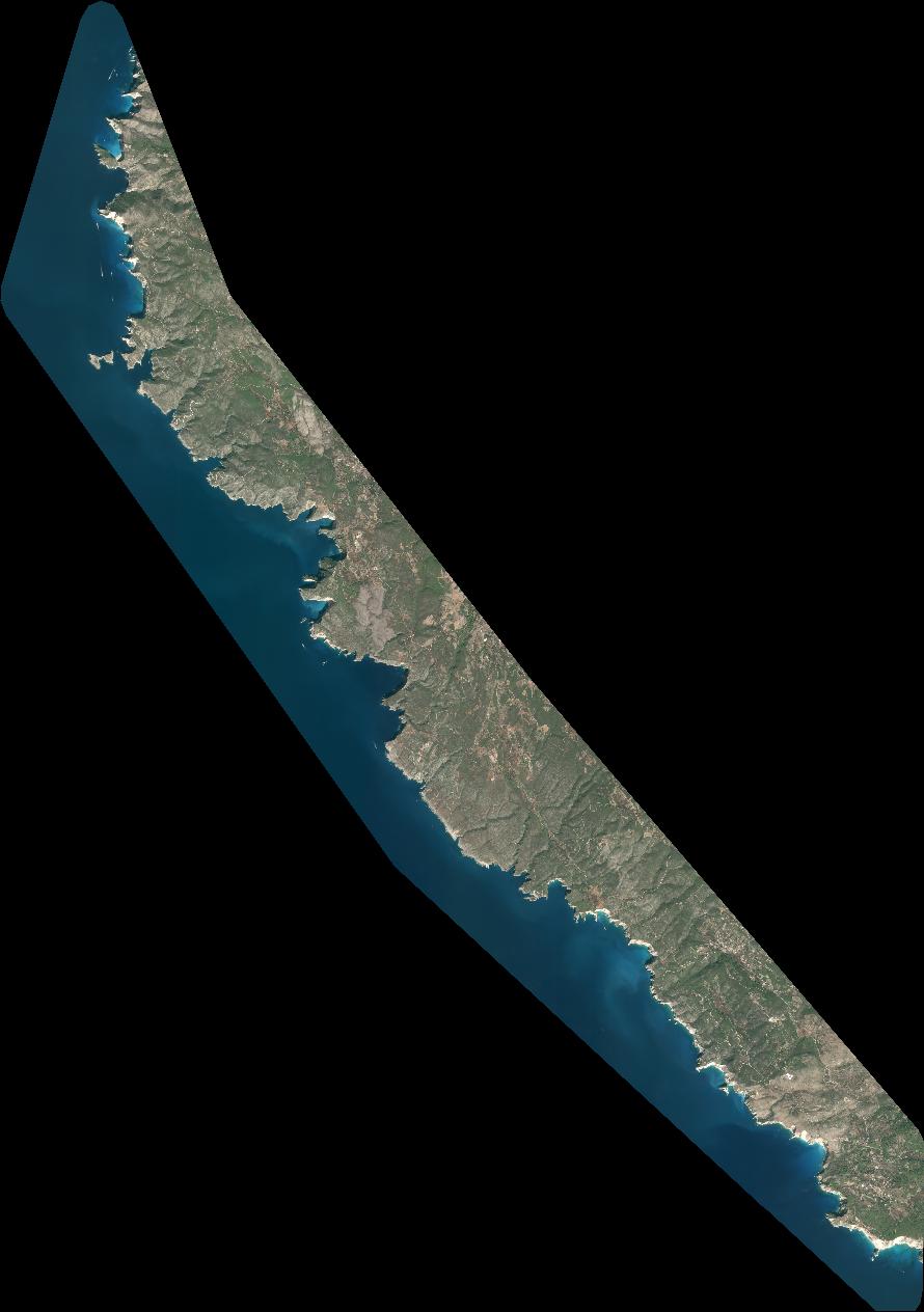
Dataset framing
Vertice
Longitude (DEG)
Latitude (DEG)
Row
Col
#1
20.59494467885631
37.88936688565116
1
#2
20.82805137651573
37.89498264891474
#3
20.8280304182365
37.63750939510743
#4
20.59482930540948
37.63339773525382
Dataset sources
PHR
Coordinate Reference System
Projected Coordinate System
Geocoding tables identification
EPSG(6.3)
Production
Production Date
2022-09-30T22:22:27.630
Job identification
6516232101-2
Dataset Producer Identification
AIRBUS DS GEO
Producer link
http://www.geo-airbusds.com
Quicklook
Copyright