TYPE:
SENSOR
LAYER:
DS_PHR1A_202208131133253_FR1_PX_W003N47_0608_00634
FORMAT:
DIMAP
RASTER:
image/jp2
General Information
Map Name
Geometric Processing Level
Radiometric Processing Level
BASIC
Image dimensions
Number of columns
10129
Number of rows
13824
Number of spectral bands
1
Dataset framing
Vertice
Longitude (DEG)
Latitude (DEG)
Row
Col
#1
-2.569626058435087
47.32767541837286
#2
-2.486150320996028
47.3274881874059
#3
-2.486051406723654
47.25895850818952
#4
-2.569658799836418
47.25940622207852
Dataset sources
PHR
Coordinate Reference System
Projected Coordinate System
Geocoding tables identification
EPSG(6.3)
Production
Production Date
2022-08-14T02:19:17.679
Job identification
6458657101-1
Dataset Producer Identification
AIRBUS DS GEO
Producer link
http://www.geo-airbusds.com
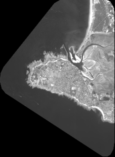
Quicklook
Copyright