TYPE:
SENSOR
LAYER:
DS_PHR1A_202208131133253_FR1_PX_W003N47_0608_00634
FORMAT:
DIMAP
RASTER:
image/jp2
General Information
Map Name
Geometric Processing Level
Radiometric Processing Level
BASIC
Image dimensions
Number of columns
2533
Number of rows
3456
Number of spectral bands
4
Dataset framing
Vertice
Longitude (DEG)
Latitude (DEG)
Row
Col
#1
-2.569610240897604
47.327669248131
1
#2
-2.486134303417194
47.32748196820426
#3
-2.486035431006405
47.25896724420315
#4
-2.56964290370145
47.25941494805641
Dataset sources
PHR
Coordinate Reference System
Projected Coordinate System
Geocoding tables identification
EPSG(6.3)
Production
Production Date
2022-08-14T02:19:07.604
Job identification
6458657101-2
Dataset Producer Identification
AIRBUS DS GEO
Producer link
http://www.geo-airbusds.com
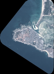
Quicklook
Copyright