TYPE:
SENSOR
LAYER:
DS_PHR1A_202208131133253_FR1_PX_W003N47_0807_01243
FORMAT:
DIMAP
RASTER:
image/jp2
General Information
Map Name
Geometric Processing Level
Radiometric Processing Level
BASIC
Image dimensions
Number of columns
32388
Number of rows
27532
Number of spectral bands
1
Dataset framing
Vertice
Longitude (DEG)
Latitude (DEG)
Row
Col
#1
-2.526433651461032
47.32772173666232
#2
-2.255939032551218
47.32678824705103
#3
-2.255580470181016
47.18880582113623
#4
-2.526841298210003
47.19142613806906
Dataset sources
PHR
Coordinate Reference System
Projected Coordinate System
Geocoding tables identification
EPSG(6.3)
Production
Production Date
2022-08-14T02:23:17.366
Job identification
6458656101-1
Dataset Producer Identification
AIRBUS DS GEO
Producer link
http://www.geo-airbusds.com
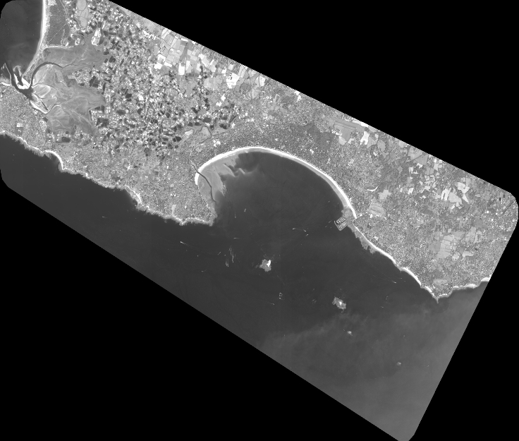
Quicklook
Copyright