TYPE:
SENSOR
LAYER:
DS_PHR1A_202208131133253_FR1_PX_W003N47_0807_01243
FORMAT:
DIMAP
RASTER:
image/jp2
General Information
Map Name
Geometric Processing Level
Radiometric Processing Level
BASIC
Image dimensions
Number of columns
8098
Number of rows
6883
Number of spectral bands
4
Dataset framing
Vertice
Longitude (DEG)
Latitude (DEG)
Row
Col
#1
-2.526439913239226
47.32771375174326
1
#2
-2.255936950188793
47.32678206204942
#3
-2.255578254530137
47.18881421320426
#4
-2.526847395239965
47.19143259964362
Dataset sources
PHR
Coordinate Reference System
Projected Coordinate System
Geocoding tables identification
EPSG(6.3)
Production
Production Date
2022-08-14T02:23:07.766
Job identification
6458656101-2
Dataset Producer Identification
AIRBUS DS GEO
Producer link
http://www.geo-airbusds.com
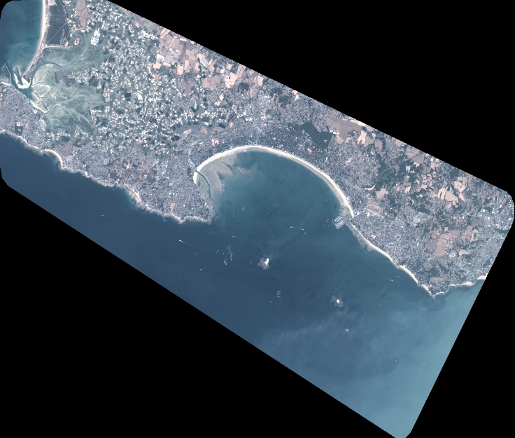
Quicklook
Copyright