TYPE:
SENSOR
LAYER:
DS_PHR1A_202208131133347_FR1_PX_W003N47_0110_01066
FORMAT:
DIMAP
RASTER:
image/jp2
General Information
Map Name
Geometric Processing Level
Radiometric Processing Level
BASIC
Image dimensions
Number of columns
5927
Number of rows
5887
Number of spectral bands
4
Dataset framing
Vertice
Longitude (DEG)
Latitude (DEG)
Row
Col
#1
-3.03226703318216
47.42675899777512
1
#2
-2.838520978461252
47.43229650452877
#3
-2.838499443065396
47.31523657572321
#4
-3.0326126234384
47.31066017164435
Dataset sources
PHR
Coordinate Reference System
Projected Coordinate System
Geocoding tables identification
EPSG(6.3)
Production
Production Date
2022-08-14T02:22:51.988
Job identification
6458655101-2
Dataset Producer Identification
AIRBUS DS GEO
Producer link
http://www.geo-airbusds.com
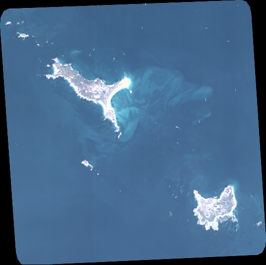
Quicklook
Copyright