TYPE:
SENSOR
LAYER:
DS_PHR1A_202208131133429_FR1_PX_W004N47_1109_01462
FORMAT:
DIMAP
RASTER:
image/jp2
General Information
Map Name
Geometric Processing Level
Radiometric Processing Level
BASIC
Image dimensions
Number of columns
32744
Number of rows
32431
Number of spectral bands
1
Dataset framing
Vertice
Longitude (DEG)
Latitude (DEG)
Row
Col
#1
-3.297007831938527
47.41129252200722
#2
-3.027274009268238
47.42537228563105
#3
-3.027234120925657
47.26097547012913
#4
-3.297557487423601
47.24875197634896
Dataset sources
PHR
Coordinate Reference System
Projected Coordinate System
Geocoding tables identification
EPSG(6.3)
Production
Production Date
2022-08-14T02:22:39.588
Job identification
6458654101-1
Dataset Producer Identification
AIRBUS DS GEO
Producer link
http://www.geo-airbusds.com
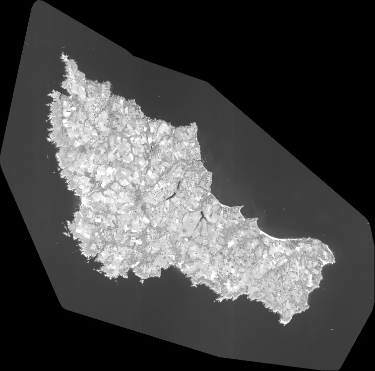
Quicklook
Copyright