TYPE:
SENSOR
LAYER:
DS_PHR1A_202208131133429_FR1_PX_W004N47_1109_01462
FORMAT:
DIMAP
RASTER:
image/jp2
General Information
Map Name
Geometric Processing Level
Radiometric Processing Level
BASIC
Image dimensions
Number of columns
8187
Number of rows
8108
Number of spectral bands
4
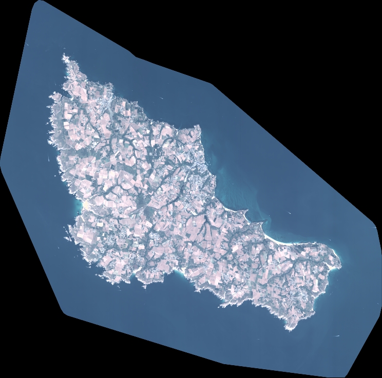
Dataset framing
Vertice
Longitude (DEG)
Latitude (DEG)
Row
Col
#1
-3.297003838125886
47.41129024686912
1
#2
-3.027261550705282
47.42537040599974
#3
-3.027221635334531
47.26098362187933
#4
-3.297553450508207
47.24875967663984
Dataset sources
PHR
Coordinate Reference System
Projected Coordinate System
Geocoding tables identification
EPSG(6.3)
Production
Production Date
2022-08-14T02:22:29.024
Job identification
6458654101-2
Dataset Producer Identification
AIRBUS DS GEO
Producer link
http://www.geo-airbusds.com
Quicklook
Copyright