TYPE:
SENSOR
LAYER:
DS_PHR1B_202208122012161_FR1_PX_W148S16_0820_01795
FORMAT:
DIMAP
RASTER:
image/tiff
General Information
Map Name
Geometric Processing Level
Radiometric Processing Level
BASIC
Image dimensions
Number of columns
39986
Number of rows
39844
Number of spectral bands
1
Dataset framing
Vertice
Longitude (DEG)
Latitude (DEG)
Row
Col
#1
-147.4601710198602
-15.10765704893715
#2
-147.2733356293924
-15.1072299356393
#3
-147.2731947921517
-15.28631212602107
#4
-147.4603412357974
-15.28643620332442
Dataset sources
PHR
Coordinate Reference System
Projected Coordinate System
Geocoding tables identification
EPSG(6.3)
Production
Production Date
2022-08-13T11:59:04.114
Job identification
6458433101-1
Dataset Producer Identification
AIRBUS DS GEO
Producer link
http://www.geo-airbusds.com
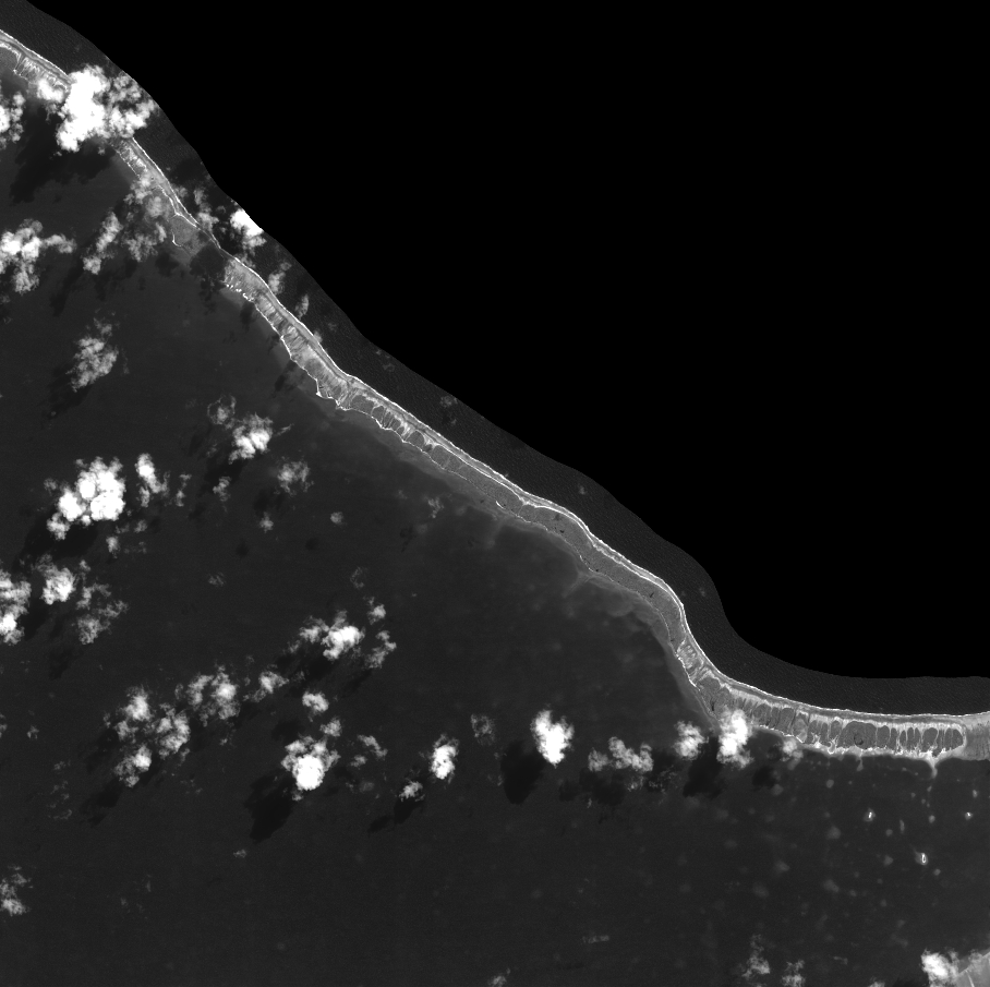
Quicklook
Copyright