TYPE:
SENSOR
LAYER:
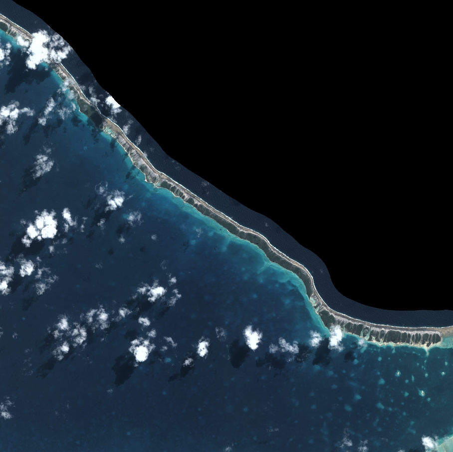
DS_PHR1B_202208122012161_FR1_PX_W148S16_0820_01795
FORMAT:
DIMAP
RASTER:
image/tiff
General Information
Map Name
Geometric Processing Level
Radiometric Processing Level
BASIC
Image dimensions
Number of columns
9997
Number of rows
9961
Number of spectral bands
4
Dataset framing
Vertice
Longitude (DEG)
Latitude (DEG)
Row
Col
#1
-147.4601640226995
-15.10766376361159
1
#2
-147.2733332769295
-15.10723666822184
#3
-147.2731924325197
-15.28630537772488
#4
-147.4603342020544
-15.28642946725158
Dataset sources
PHR
Coordinate Reference System
Projected Coordinate System
Geocoding tables identification
EPSG(6.3)
Production
Production Date
2022-08-13T11:58:32.534
Job identification
6458433101-2
Dataset Producer Identification
AIRBUS DS GEO
Producer link
http://www.geo-airbusds.com
Quicklook
Copyright