TYPE:
SENSOR
LAYER:
DS_PHR1B_202208122012042_FR1_PX_W147S16_0318_01771
FORMAT:
DIMAP
RASTER:
image/tiff
General Information
Map Name
Geometric Processing Level
Radiometric Processing Level
BASIC
Image dimensions
Number of columns
39332
Number of rows
39304
Number of spectral bands
1
Dataset framing
Vertice
Longitude (DEG)
Latitude (DEG)
Row
Col
#1
-146.9024470591427
-15.18833368840379
#2
-146.7154373360783
-15.1906772622857
#3
-146.7152202618601
-15.3706472569693
#4
-146.9027084256552
-15.36765584706549
Dataset sources
PHR
Coordinate Reference System
Projected Coordinate System
Geocoding tables identification
EPSG(6.3)
Production
Production Date
2022-08-13T12:00:13.269
Job identification
6458432101-1
Dataset Producer Identification
AIRBUS DS GEO
Producer link
http://www.geo-airbusds.com
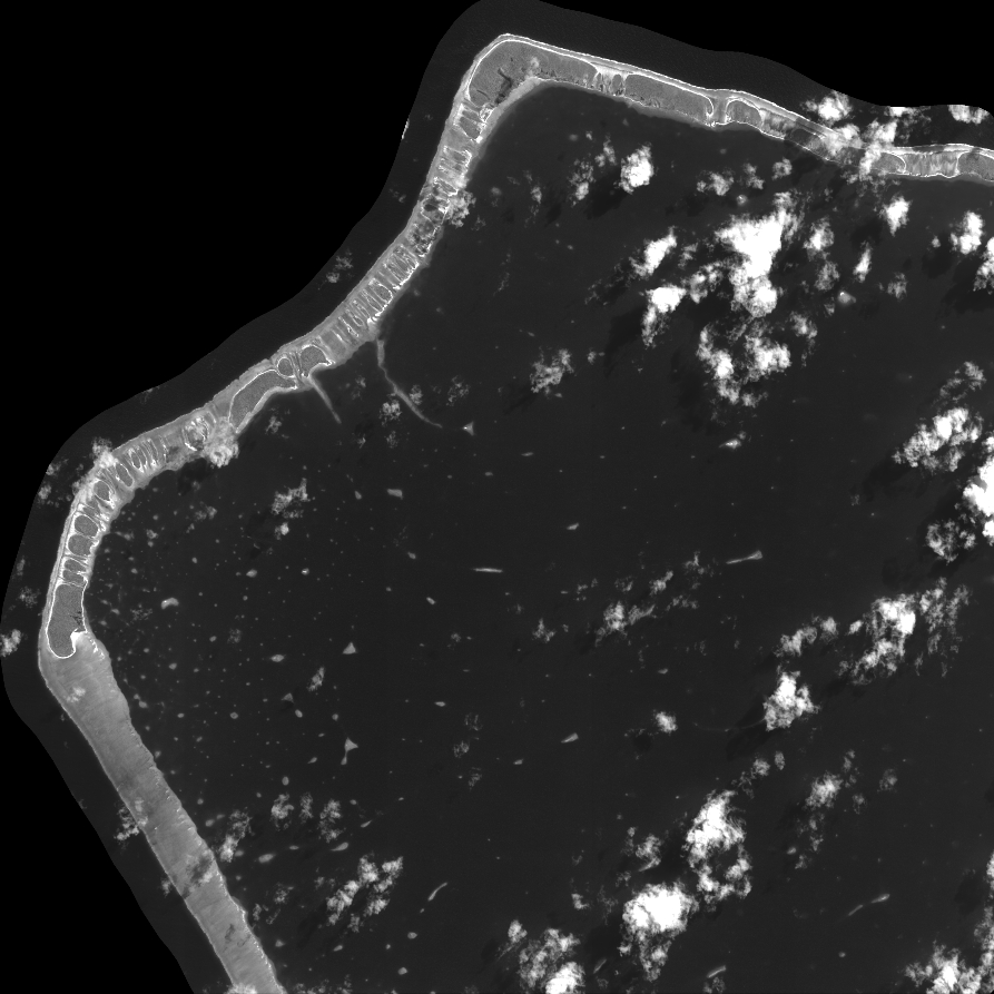
Quicklook
Copyright