TYPE:
SENSOR
LAYER:
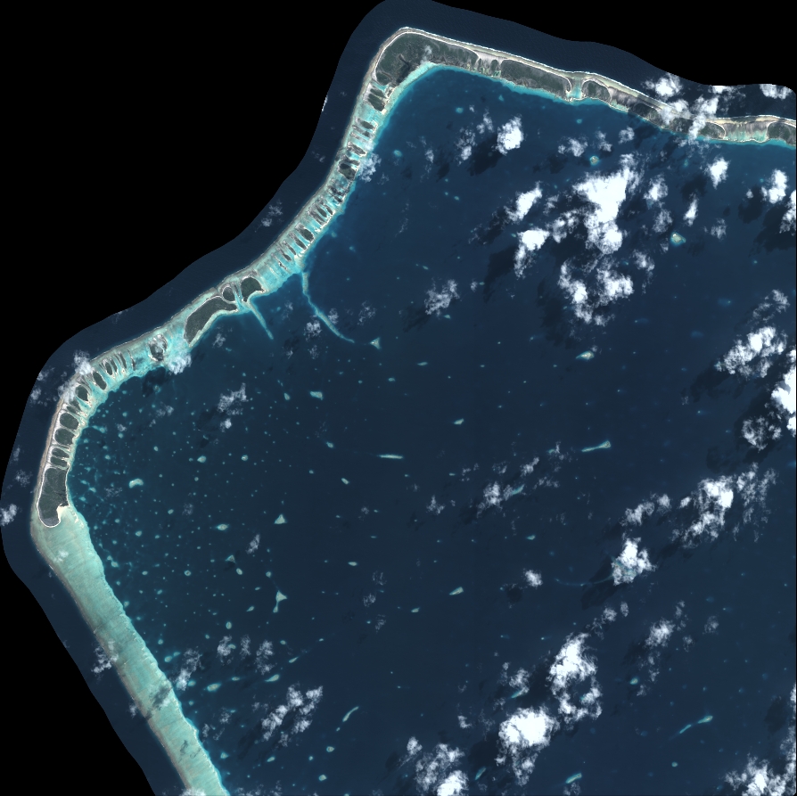
DS_PHR1B_202208122012042_FR1_PX_W147S16_0318_01771
FORMAT:
DIMAP
RASTER:
image/tiff
General Information
Map Name
Geometric Processing Level
Radiometric Processing Level
BASIC
Image dimensions
Number of columns
9834
Number of rows
9826
Number of spectral bands
4
Dataset framing
Vertice
Longitude (DEG)
Latitude (DEG)
Row
Col
#1
-146.902439966454
-15.1883406267903
1
#2
-146.7154253674291
-15.19068427983552
#3
-146.7152082786263
-15.37064057188003
#4
-146.902701299973
-15.36764911545786
Dataset sources
PHR
Coordinate Reference System
Projected Coordinate System
Geocoding tables identification
EPSG(6.3)
Production
Production Date
2022-08-13T12:01:13.853
Job identification
6458432101-2
Dataset Producer Identification
AIRBUS DS GEO
Producer link
http://www.geo-airbusds.com
Quicklook
Copyright