TYPE:
SENSOR
LAYER:
DS_PHR1B_202208121454133_FR1_PX_W052N64_0904_00989
FORMAT:
DIMAP
RASTER:
image/jp2
General Information
Map Name
Geometric Processing Level
Radiometric Processing Level
BASIC
Image dimensions
Number of columns
38594
Number of rows
21690
Number of spectral bands
1
Dataset framing
Vertice
Longitude (DEG)
Latitude (DEG)
Row
Col
#1
-51.50844958877753
64.18984601597124
#2
-51.0921013918717
64.18377921320629
#3
-51.09439362865669
64.08223263219848
#4
-51.50733548870008
64.08665737064626
Dataset sources
PHR
Coordinate Reference System
Projected Coordinate System
Geocoding tables identification
EPSG(6.3)
Production
Production Date
2022-08-13T09:45:41.117
Job identification
6458108101-1
Dataset Producer Identification
AIRBUS DS GEO
Producer link
http://www.geo-airbusds.com
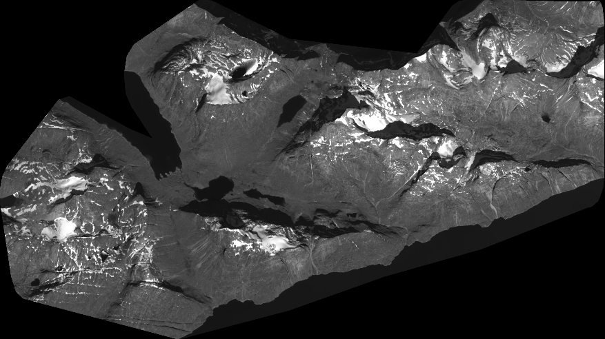
Quicklook
Copyright