TYPE:
SENSOR
LAYER:
DS_PHR1B_202208121454133_FR1_PX_W052N64_0904_00989
FORMAT:
DIMAP
RASTER:
image/jp2
General Information
Map Name
Geometric Processing Level
Radiometric Processing Level
BASIC
Image dimensions
Number of columns
9649
Number of rows
5423
Number of spectral bands
4
Dataset framing
Vertice
Longitude (DEG)
Latitude (DEG)
Row
Col
#1
-51.50843302071554
64.18983851962118
1
#2
-51.09209570552533
64.18377163419912
#3
-51.09438830055254
64.08223018429489
#4
-51.50731919477676
64.08665472991618
Dataset sources
PHR
Coordinate Reference System
Projected Coordinate System
Geocoding tables identification
EPSG(6.3)
Production
Production Date
2022-08-13T09:48:17.804
Job identification
6458108101-2
Dataset Producer Identification
AIRBUS DS GEO
Producer link
http://www.geo-airbusds.com
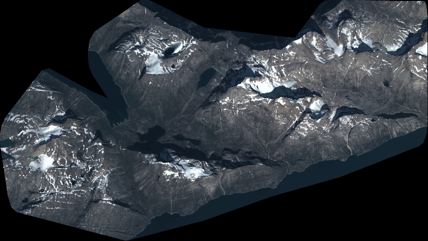
Quicklook
Copyright