TYPE:
SENSOR
LAYER:
DS_PHR1B_202208121453423_FR1_PX_W052N64_0904_00967
FORMAT:
DIMAP
RASTER:
image/jp2
General Information
Map Name
Geometric Processing Level
Radiometric Processing Level
BASIC
Image dimensions
Number of columns
38201
Number of rows
21208
Number of spectral bands
1
Dataset framing
Vertice
Longitude (DEG)
Latitude (DEG)
Row
Col
#1
-51.50871059096415
64.18478940902064
#2
-51.09246488305311
64.18737404271187
#3
-51.09571692951831
64.09006065333476
#4
-51.5076185590958
64.0871881764979
Dataset sources
PHR
Coordinate Reference System
Projected Coordinate System
Geocoding tables identification
EPSG(6.3)
Production
Production Date
2022-08-13T09:54:53.946
Job identification
6458107101-1
Dataset Producer Identification
AIRBUS DS GEO
Producer link
http://www.geo-airbusds.com
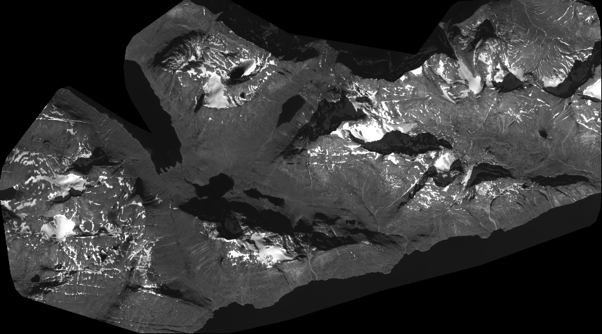
Quicklook
Copyright