TYPE:
SENSOR
LAYER:
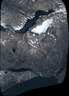
DS_PHR1B_202208121454059_FR1_PX_W052N64_1104_00666
FORMAT:
DIMAP
RASTER:
image/jp2
General Information
Map Name
Geometric Processing Level
Radiometric Processing Level
BASIC
Image dimensions
Number of columns
2623
Number of rows
3597
Number of spectral bands
4
Dataset framing
Vertice
Longitude (DEG)
Latitude (DEG)
Row
Col
#1
-51.15655623549101
64.18432599589143
1
#2
-51.04336733037169
64.18238562325143
#3
-51.04484996799635
64.11673526672593
#4
-51.1549484413405
64.11703150096923
Dataset sources
PHR
Coordinate Reference System
Projected Coordinate System
Geocoding tables identification
EPSG(6.3)
Production
Production Date
2022-08-13T09:38:46.519
Job identification
6458106101-2
Dataset Producer Identification
AIRBUS DS GEO
Producer link
http://www.geo-airbusds.com
Quicklook
Copyright