TYPE:
SENSOR
LAYER:
DS_PHR1B_202208121453349_FR1_PX_W052N64_1104_00659
FORMAT:
DIMAP
RASTER:
image/jp2
General Information
Map Name
Geometric Processing Level
Radiometric Processing Level
BASIC
Image dimensions
Number of columns
10160
Number of rows
14272
Number of spectral bands
1
Dataset framing
Vertice
Longitude (DEG)
Latitude (DEG)
Row
Col
#1
-51.15775674447809
64.18104671742816
#2
-51.0435511364531
64.18326383135199
#3
-51.04619325854593
64.11609200442965
#4
-51.15535344157515
64.11501682683621
Dataset sources
PHR
Coordinate Reference System
Projected Coordinate System
Geocoding tables identification
EPSG(6.3)
Production
Production Date
2022-08-13T09:41:03.490
Job identification
6458105101-1
Dataset Producer Identification
AIRBUS DS GEO
Producer link
http://www.geo-airbusds.com
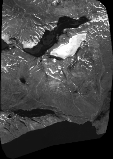
Quicklook
Copyright