TYPE:
SENSOR
LAYER:
DS_PHR1B_202208121453349_FR1_PX_W052N64_1104_00659
FORMAT:
DIMAP
RASTER:
image/jp2
General Information
Map Name
Geometric Processing Level
Radiometric Processing Level
BASIC
Image dimensions
Number of columns
2541
Number of rows
3568
Number of spectral bands
4
Dataset framing
Vertice
Longitude (DEG)
Latitude (DEG)
Row
Col
#1
-51.15775072557368
64.18103994216118
1
#2
-51.04353484680924
64.18325704404097
#3
-51.04617667913016
64.11609925274261
#4
-51.15534759693328
64.11502399431276
Dataset sources
PHR
Coordinate Reference System
Projected Coordinate System
Geocoding tables identification
EPSG(6.3)
Production
Production Date
2022-08-13T09:43:19.451
Job identification
6458105101-2
Dataset Producer Identification
AIRBUS DS GEO
Producer link
http://www.geo-airbusds.com
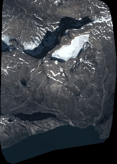
Quicklook
Copyright