TYPE:
SENSOR
LAYER:
DS_PHR1A_202208121052160_FR1_PX_E003N43_1112_01468
FORMAT:
DIMAP
RASTER:
image/jp2
General Information
Map Name
Geometric Processing Level
Radiometric Processing Level
BASIC
Image dimensions
Number of columns
36764
Number of rows
32596
Number of spectral bands
1
Dataset framing
Vertice
Longitude (DEG)
Latitude (DEG)
Row
Col
#1
3.744577952665898
43.57771058582052
#2
3.983383100521283
43.57172300591499
#3
3.983350910180855
43.41475491147526
#4
3.744737331171305
43.42118327400532
Dataset sources
PHR
Coordinate Reference System
Projected Coordinate System
Geocoding tables identification
EPSG(6.3)
Production
Production Date
2022-08-13T03:29:10.841
Job identification
6457669101-1
Dataset Producer Identification
AIRBUS DS GEO
Producer link
http://www.geo-airbusds.com
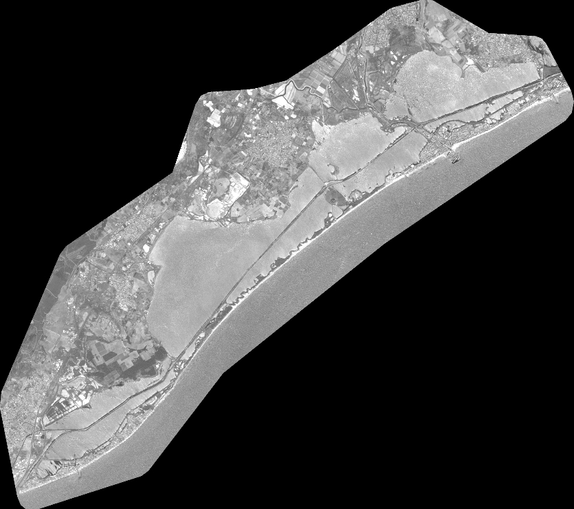
Quicklook
Copyright