TYPE:
SYSTEM_ORTHO
LAYER:
DS_PHR1A_202208121051216_FR1_PX_E001N49_0912_01852
FORMAT:
DIMAP
RASTER:
image/tiff
General Information
Map Name
Geometric Processing Level
Radiometric Processing Level
BASIC
Image dimensions
Number of columns
28593
Number of rows
43239
Number of spectral bands
4
Dataset framing
Vertice
Longitude (DEG)
Latitude (DEG)
Row
Col
#1
1.597235337661461
49.24277034126574
1
#2
1.793505799308878
49.24489365634643
#3
1.798024382350993
49.05054575909201
#4
1.602488710172881
49.04842998708801
Dataset sources
PHR
Coordinate Reference System
Projected Coordinate System
Geocoding tables identification
EPSG(6.3)
Projected Coordinate System name
2154
Projected Coordinate System code
urn:ogc:def:crs:EPSG::2154
Geoposition
Upper - Left Map X Coordinate
597842.25
Upper - Left Map Y Coordinate
6905695.75
Image sampling
0.5 x 0.5
Production
Production Date
2022-08-12T12:54:03.477
Job identification
6457445101
Dataset Producer Identification
AIRBUS DS GEO
Producer link
http://www.geo-airbusds.com
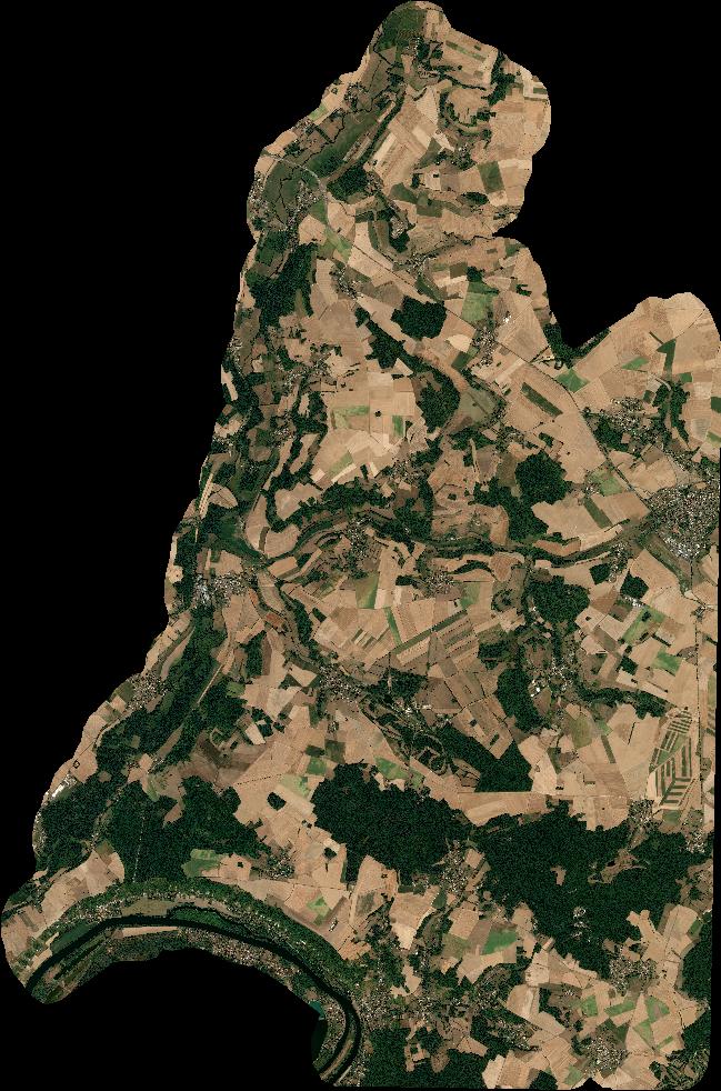
Quicklook
Copyright