TYPE:
SENSOR
LAYER:
DS_PHR1A_202208121051216_FR1_PX_E001N49_0912_01853
FORMAT:
DIMAP
RASTER:
image/jp2
General Information
Map Name
Geometric Processing Level
Radiometric Processing Level
BASIC
Image dimensions
Number of columns
26029
Number of rows
41261
Number of spectral bands
1
Dataset framing
Vertice
Longitude (DEG)
Latitude (DEG)
Row
Col
#1
1.600987022739406
49.24692952584204
#2
1.795218427217906
49.24166401693117
#3
1.794889051480623
49.04828625817359
#4
1.601885352009632
49.0526244947062
Dataset sources
PHR
Coordinate Reference System
Projected Coordinate System
Geocoding tables identification
EPSG(6.3)
Production
Production Date
2022-08-12T23:44:34.928
Job identification
6457444101-1
Dataset Producer Identification
AIRBUS DS GEO
Producer link
http://www.geo-airbusds.com
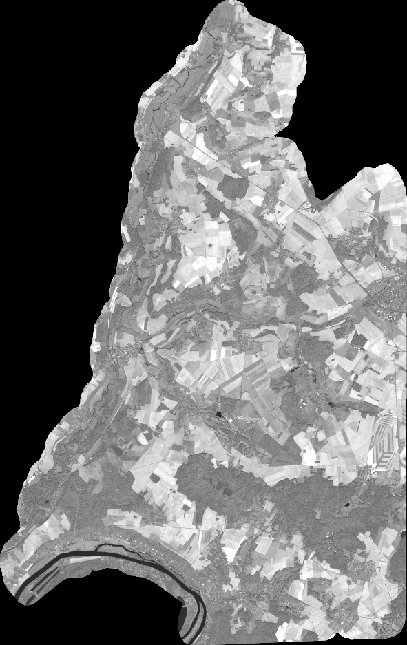
Quicklook
Copyright