TYPE:
SENSOR
LAYER:
DS_PHR1A_202208121051216_FR1_PX_E001N49_0912_01853
FORMAT:
DIMAP
RASTER:
image/jp2
General Information
Map Name
Geometric Processing Level
Radiometric Processing Level
BASIC
Image dimensions
Number of columns
6508
Number of rows
10315
Number of spectral bands
4
Dataset framing
Vertice
Longitude (DEG)
Latitude (DEG)
Row
Col
#1
1.601004691050078
49.24691662042675
1
#2
1.795235756622551
49.24165192736916
#3
1.794907122216469
49.04829377071572
#4
1.601903943122935
49.0526311746678
Dataset sources
PHR
Coordinate Reference System
Projected Coordinate System
Geocoding tables identification
EPSG(6.3)
Production
Production Date
2022-08-12T23:43:39.291
Job identification
6457444101-2
Dataset Producer Identification
AIRBUS DS GEO
Producer link
http://www.geo-airbusds.com
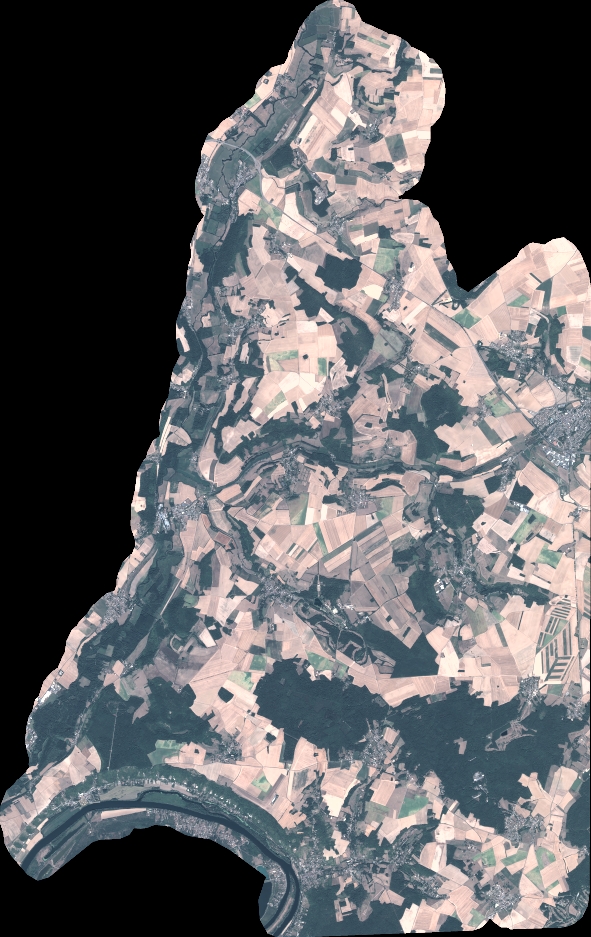
Quicklook
Copyright