TYPE:
SENSOR
LAYER:
DS_PHR1A_202206301032284_FR1_PX_E007N48_0913_01645
FORMAT:
DIMAP
RASTER:
image/jp2
General Information
Map Name
Geometric Processing Level
Radiometric Processing Level
BASIC
Image dimensions
Number of columns
39842
Number of rows
36580
Number of spectral bands
1
Dataset framing
Vertice
Longitude (DEG)
Latitude (DEG)
Row
Col
#1
7.533808561393387
48.60138196827192
#2
7.809546102650883
48.60169988665776
#3
7.809195592316011
48.43740715682753
#4
7.534771892885886
48.43646590881485
Dataset sources
PHR
Coordinate Reference System
Projected Coordinate System
Geocoding tables identification
EPSG(6.3)
Production
Production Date
2022-06-30T23:26:19.330
Job identification
6411637101-1
Dataset Producer Identification
AIRBUS DS GEO
Producer link
http://www.geo-airbusds.com
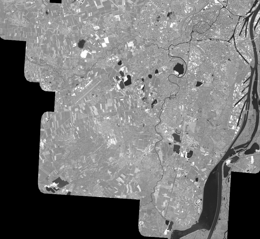
Quicklook
Copyright