TYPE:
SENSOR
LAYER:
DS_PHR1A_202206301032284_FR1_PX_E007N48_0913_01645
FORMAT:
DIMAP
RASTER:
image/jp2
General Information
Map Name
Geometric Processing Level
Radiometric Processing Level
BASIC
Image dimensions
Number of columns
9961
Number of rows
9145
Number of spectral bands
4
Dataset framing
Vertice
Longitude (DEG)
Latitude (DEG)
Row
Col
#1
7.533818463333052
48.60137605560045
1
#2
7.809549158015222
48.60169490644834
#3
7.809199068766384
48.43741271477932
#4
7.534782242206917
48.43647060433908
Dataset sources
PHR
Coordinate Reference System
Projected Coordinate System
Geocoding tables identification
EPSG(6.3)
Production
Production Date
2022-06-30T23:24:10.611
Job identification
6411637101-2
Dataset Producer Identification
AIRBUS DS GEO
Producer link
http://www.geo-airbusds.com
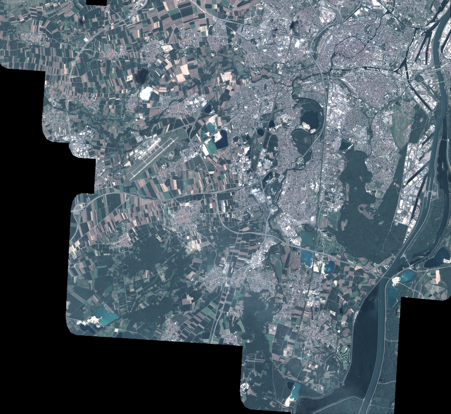
Quicklook
Copyright