TYPE:
SENSOR
LAYER:
DS_PHR1A_202206301032140_FR1_PX_E007N48_0913_01647
FORMAT:
DIMAP
RASTER:
image/jp2
General Information
Map Name
Geometric Processing Level
Radiometric Processing Level
BASIC
Image dimensions
Number of columns
39511
Number of rows
36628
Number of spectral bands
1
Dataset framing
Vertice
Longitude (DEG)
Latitude (DEG)
Row
Col
#1
7.531812855842143
48.60124125820547
#2
7.811729808754119
48.60624758925879
#3
7.811316371658976
48.43661623752425
#4
7.532798866319331
48.4307307420472
Dataset sources
PHR
Coordinate Reference System
Projected Coordinate System
Geocoding tables identification
EPSG(6.3)
Production
Production Date
2022-06-30T23:23:35.959
Job identification
6411635101-1
Dataset Producer Identification
AIRBUS DS GEO
Producer link
http://www.geo-airbusds.com
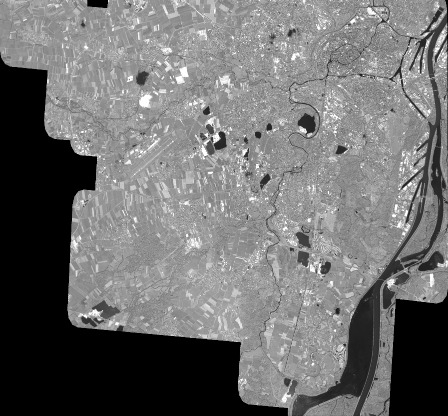
Quicklook
Copyright