TYPE:
SENSOR
LAYER:
DS_PHR1A_202206301032140_FR1_PX_E007N48_0913_01647
FORMAT:
DIMAP
RASTER:
image/jp2
General Information
Map Name
Geometric Processing Level
Radiometric Processing Level
BASIC
Image dimensions
Number of columns
9878
Number of rows
9157
Number of spectral bands
4
Dataset framing
Vertice
Longitude (DEG)
Latitude (DEG)
Row
Col
#1
7.531836860474311
48.60123501644851
1
#2
7.811739410907093
48.60624123324075
#3
7.81132710264185
48.43662302721532
#4
7.532823974117554
48.43073784355614
Dataset sources
PHR
Coordinate Reference System
Projected Coordinate System
Geocoding tables identification
EPSG(6.3)
Production
Production Date
2022-06-30T23:23:21.280
Job identification
6411635101-2
Dataset Producer Identification
AIRBUS DS GEO
Producer link
http://www.geo-airbusds.com
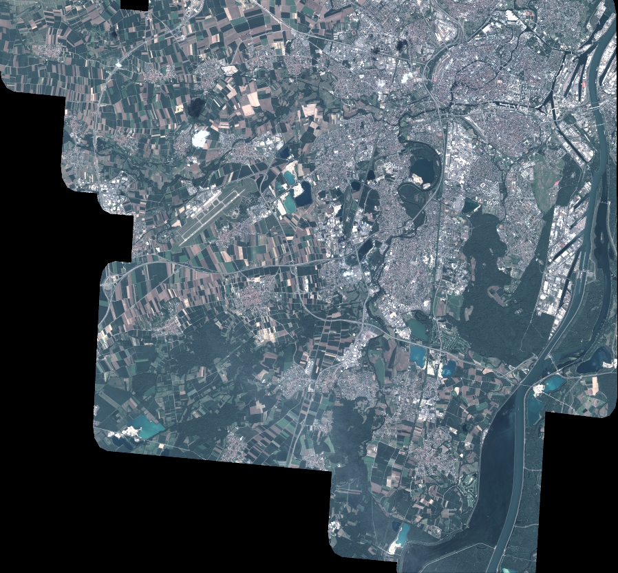
Quicklook
Copyright