TYPE:
SENSOR
LAYER:
DS_PHR1A_202206301032386_FR1_PX_E007N48_1015_01796
FORMAT:
DIMAP
RASTER:
image/jp2
General Information
Map Name
Geometric Processing Level
Radiometric Processing Level
BASIC
Image dimensions
Number of columns
39807
Number of rows
39980
Number of spectral bands
1
Dataset framing
Vertice
Longitude (DEG)
Latitude (DEG)
Row
Col
#1
7.631225985622509
48.70937581974049
#2
7.906260653016352
48.70724665730678
#3
7.905599591853446
48.52643662494974
#4
7.631886953240679
48.52813873168152
Dataset sources
PHR
Coordinate Reference System
Projected Coordinate System
Geocoding tables identification
EPSG(6.3)
Production
Production Date
2022-06-30T23:25:33.972
Job identification
6411634101-1
Dataset Producer Identification
AIRBUS DS GEO
Producer link
http://www.geo-airbusds.com
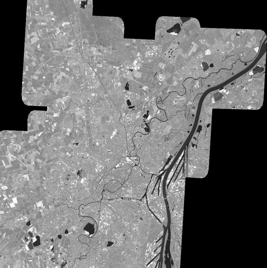
Quicklook
Copyright