TYPE:
SENSOR
LAYER:
DS_PHR1A_202206301032386_FR1_PX_E007N48_1015_01796
FORMAT:
DIMAP
RASTER:
image/jp2
General Information
Map Name
Geometric Processing Level
Radiometric Processing Level
BASIC
Image dimensions
Number of columns
9952
Number of rows
9995
Number of spectral bands
4
Dataset framing
Vertice
Longitude (DEG)
Latitude (DEG)
Row
Col
#1
7.631234879811883
48.70936953270965
1
#2
7.906255720920847
48.70724214106773
#3
7.90559383374693
48.52644624619063
#4
7.631894923153359
48.52814657149049
Dataset sources
PHR
Coordinate Reference System
Projected Coordinate System
Geocoding tables identification
EPSG(6.3)
Production
Production Date
2022-06-30T23:25:13.481
Job identification
6411634101-2
Dataset Producer Identification
AIRBUS DS GEO
Producer link
http://www.geo-airbusds.com
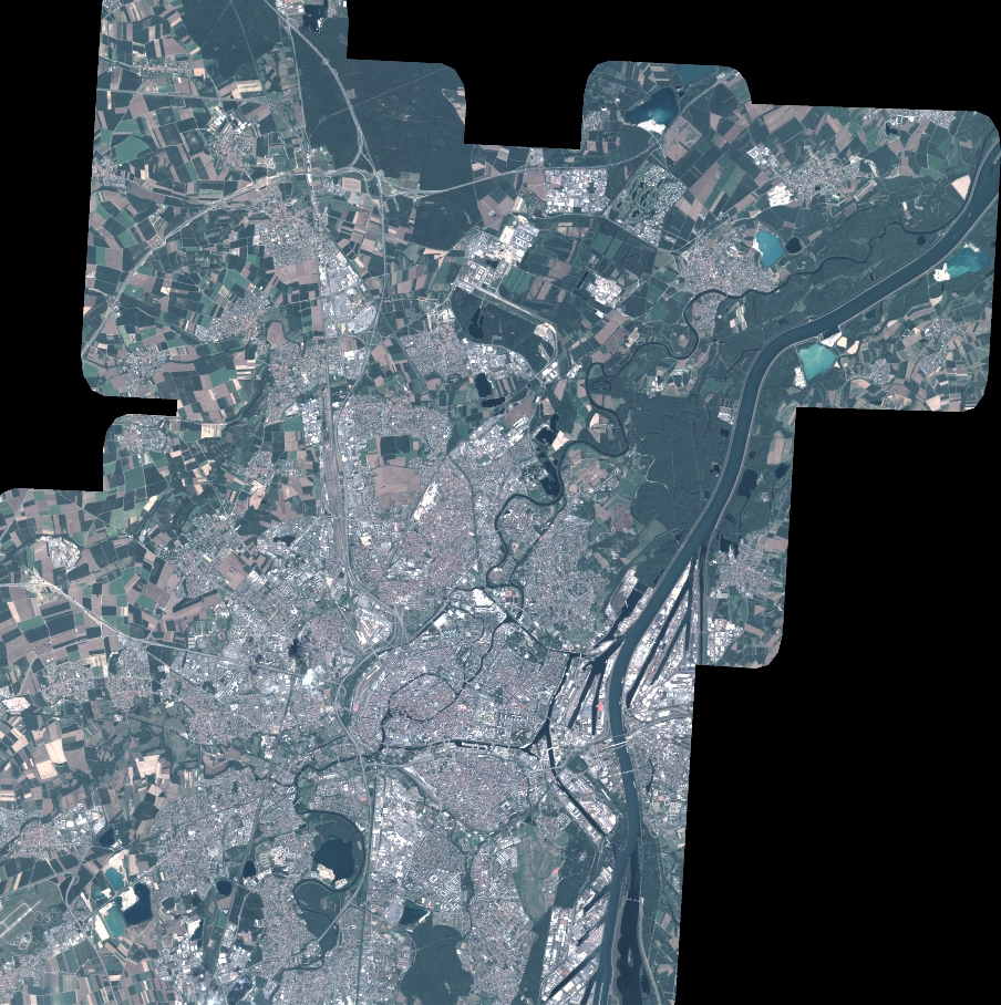
Quicklook
Copyright